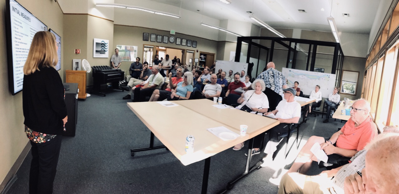
Thank you so much for joining us on August 28th to learn more about the US Army Corps of Engineers’ Feasibility Study of the Portland Metro Levee System and some of the work that Levee Ready Columbia currently has underway.
The presentation used during the open house is available for download here.
For more information about the Feasibility Study, please visit the Corps’ website at www.nwp.usace.army.mil/levees/pmls/. Questions can be directed to PMLS-feasibility@usace.army.mil or 503-808-4760.
For questions related to the drainage districts or Levee Ready Columbia, please contact us at leveeready@gmail.com.
 BACKGROUND INFORMATION
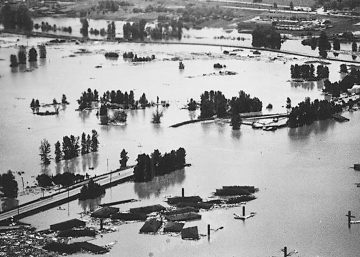
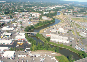
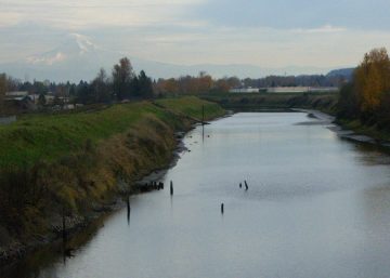
The 27-mile levee system that reduces the risk of flooding along the Columbia River from North Portland through Gresham, Fairview, and Troutdale was originally constructed by local landowners between 1917 and 1921, with the US Army Corp of Engineers (USACE) making significant improvements in the subsequent decades.
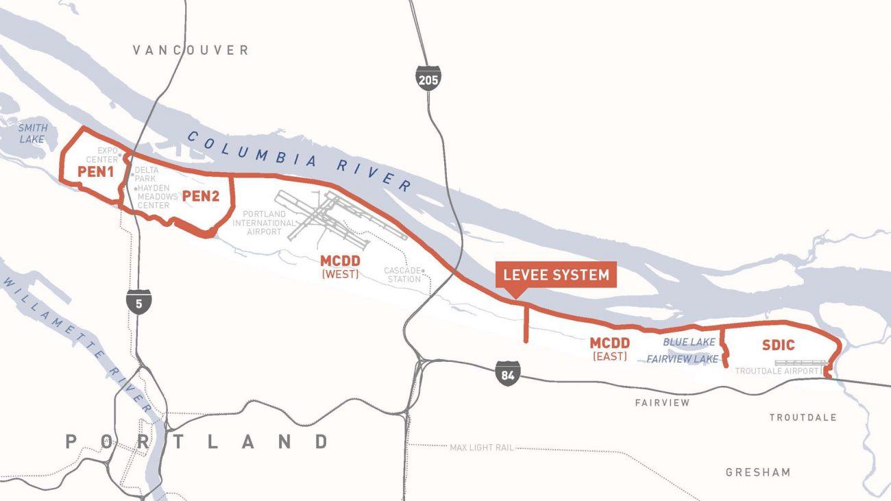
Although the levees are operated and managed by four independent drainage districts – Peninsula Drainage District 1 (PEN 1), Peninsula Drainage District 2 (PEN 2), Multnomah County Drainage District (MCDD), and Sandy Drainage Improvement Company (SDIC) – the Army Corps assumes they function as one system for the purposes of assessing flood risks.
In October 2018, the US Army Corps of Engineers (USACE) launched a New Start Feasibility Study of the local levee system in partnership with the four local drainage districts. The feasibility study is a formal three-year process used to determine if there is a federal interest in investing in an infrastructure system. During the three-year process, problem areas are identified and solutions to make the system more resilient are analyzed and selected. If federal interest is identified, a set of recommendations are delivered to Congress along with funding requests to complete the recommended projects.
In addition to working with the Army Corps, the four drainage districts are members of Levee Ready Columbia (LRC), a local coalition of over twenty public, private, nonprofit, and neighborhood organizations working collaboratively to reduce the risk of flooding along the Columbia River in Multnomah County. LRC came together in 2013 to ensure the local levee system continues to meet federal safety standards set by USACE and the
Federal Emergency Management Agency (FEMA). The LRC partners are also committed to making the most of opportunities to enhance the environmental and recreational value of the managed floodplain while improving flood safety in the region.
Representatives of the drainage districts and LRC will work closely with the Army Corps to support the feasibility study, including helping to engage members of the community to facilitate an understanding of the study process and public involvement opportunities. On top of this, LRC will also be coordinating community-based discussions about the region and other modernization needs including ongoing efforts to create a safer, more sustainable way to manage and fund the operations and maintenance of the levee system.
For more information about the US Army Corps of Engineers’ Feasibility Study, visit their Portland Metro Levees System page here.